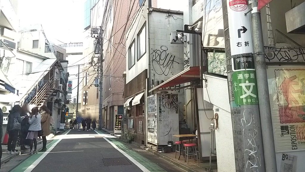
Pointone photo
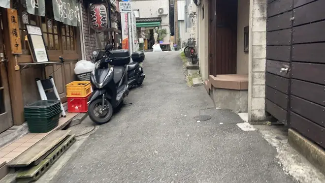
 Photo: a Mapillary contributor, CC BY-SA 4.0, cropped and resized
A narrow street in Shinjuku 2025
Wooden shops and houses on both sides. The left shoulder is about 1.5 m wide, with two motorbikes parked on it.
Sidewalk widths, signs, planting, the age of buildings. AI described street photos of Tokyo taken by citizens, one by one, so you can look up how places actually are, by location or by words. Descriptions are in Japanese.
Translated from the Japanese record. The API returns the original Japanese text.
All of Tokyo (the 23 wards over several years; Tama and the islands mostly the latest year) · release 2026-09-13-r2
All three run on the same public data. No sign-up, no API key.
Three screens that open in any browser.
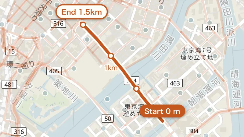 Mapphotos, streets, blocks, changes
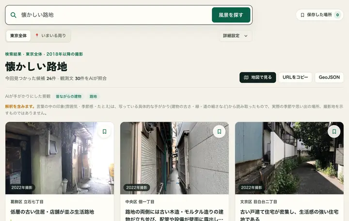 Search scenesJapanese interface
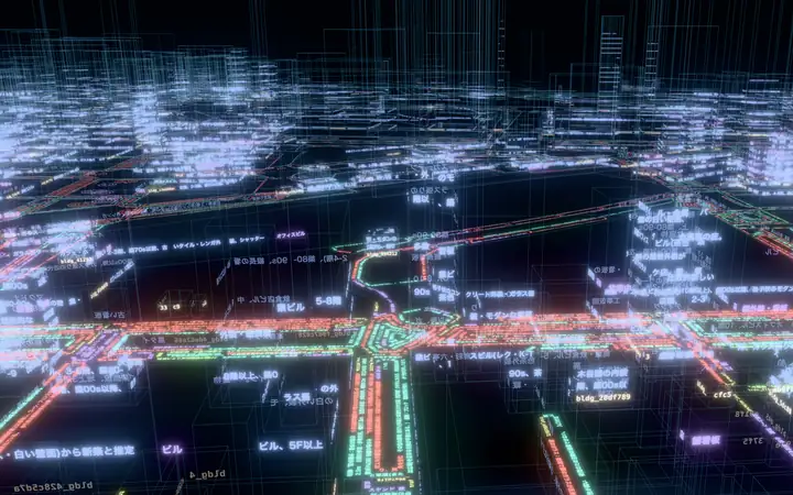 3D citywords written on Tokyo's 3D city model (Japanese)
Screens reduced. Photos © Mapillary contributors (CC BY-SA 4.0) · Map: OpenFreeMap © OpenMapTiles © OpenStreetMap contributors (ODbL) · 3D city model: Project PLATEAU (MLIT), processed
Send a location and get descriptions of photos, streets, blocks and changes. REST and OpenAPI.
API reference · OpenAPI · up to 300 requests a minute
Paste this line into Claude, Codex or another agent. It reads the setup guide and connects itself (MCP).
Use from AI · /llms.txt · no uptime guarantee (SLA)
The same readings, gathered at four scales. These examples from Ginza and Shinjuku come straight from the live API. All of them sit on one map and lead back to the original photos. (Texts below are translated from the Japanese records.)
Photo: a Mapillary contributor, CC BY-SA 4.0, cropped and resizedA narrow street in Shinjuku 2025
Wooden shops and houses on both sides. The left shoulder is about 1.5 m wide, with two motorbikes parked on it.
Harumi-dori (Chuo)
A multi-lane road, wider than the ward average, running northwest between high-rise offices and apartments.
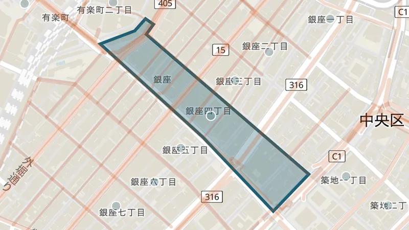
Ginza 4-chome (Chuo)
Glass-fronted high-rise offices and shops line wide arterial roads, with brand signs and broad sidewalks.
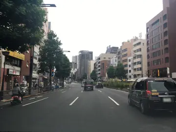
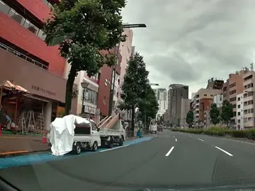 Photos: Mapillary contributors (image pages: 2019, 2026), CC BY-SA 4.0, cropped and resized
A main road in Yotsuya, Shinjuku
In the 2026 photo, a continuous blue band marking where bicycles ride runs along the left edge of the roadway, which was plain grey in 2019.
Write something like 懐かしい路地 (a nostalgic alley). It searches the text AI wrote about each street photo and returns places that fit, with photos. Search in Japanese.
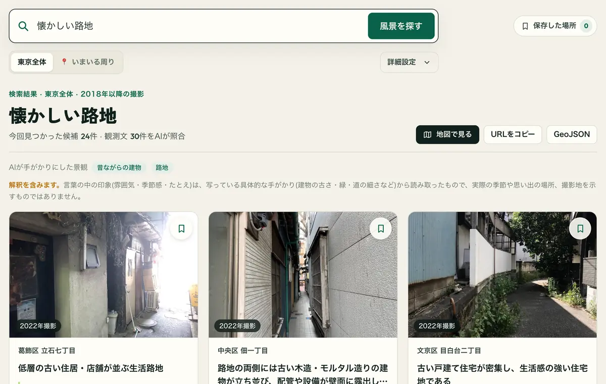 Photos: Mapillary contributors (image pages: left, middle, right), CC BY-SA 4.0 · screen reduced
The AI judges from the text written about each photo, not from the photo itself. Descriptions show each street as it was when photographed.
What AI read in street photos, written onto Tokyo's buildings and streets in PLATEAU, Japan's national 3D city model. The interface is in Japanese.
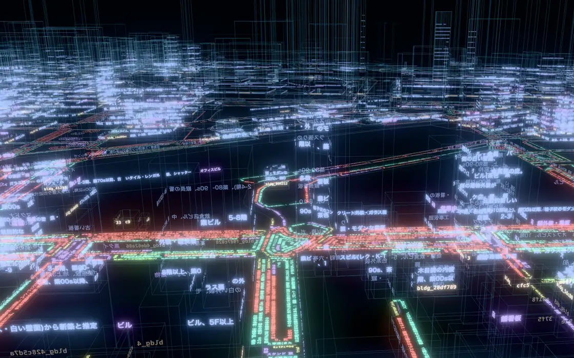
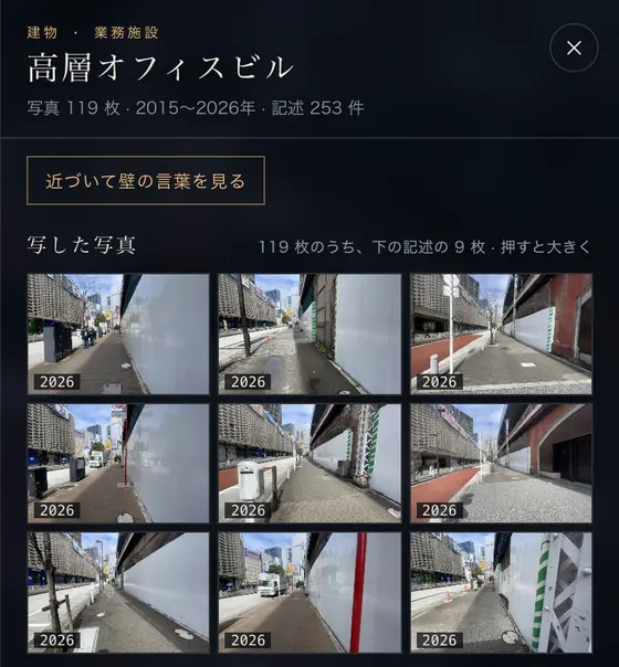
Watch the Shinbashi intro (about 40 s, Japanese) →
Grand Prix, PLATEAU Hack Challenge 2026 in TOKYO (michiyomi × LOOVIC joint team; page in Japanese)
AI misreads. So we keep who wrote what, when, and from which photo, and return how sure each reading is.
Every record carries its capture year, the generation of AI that read it, and the data release. Image IDs lead back to the original photos.
Widths and lane counts are estimates with a confidence level. "None", "unknown" and "out of frame" are kept apart, and nothing unseen is filled in.
Agreement rate when the same photo was read twice (36,479 photos).
Changes found in photos taken years apart were challenged in a separate AI session. Only the 3,618 that held up are published.
A separate AI compared readings against photos: 73.3% judged correct (83.8% including minor errors, all fields of 2,468 uniformly sampled photos). Agreement is stability, not accuracy. Numbers are estimates from images, not measurements. Use it to narrow candidates or understand trends. Check the photo or the site before making an individual decision. More: How it works (JA) · Accuracy check (EN) · docs.
The raw material is photos that citizens took and shared. The readings, and the model that reads, are open to everyone in the same way.
A REST API for points, streets, town blocks and changes, and an MCP server for AI agents.
Open the docs → CC BY 4.0A public snapshot in Parquet for research and analysis. It may lag behind the API.
Hugging Face ↗ CC BY 4.0 · PLATEAUA table linking street observations to 727,000 PLATEAU buildings, roads and other features by feature ID, with a tool that writes them into your own CityGML.
Hugging Face ↗ Apache-2.0 · experimental
Our street-reading model. It writes one street photo as what it sees and what it infers. Median 27.5 s per photo on one RTX 5090.
observationsinterpretationsSee the model ↗The public data on this site was made by our production pipeline. OddEye is a separate model for the next, richer record (13 fields); we have not changed how the public data is made.